
Treesilience: Historic Hoskins TreeMapping - Phase VII
Listed by TreesCharlotte
About
TreesCharlotte will be conducting a tree inventory mapping of street-view trees in the Historic Hoskins area. Volunteers will be split into zones and will be given measuring tapes, tree manuals, and training on how to properly map trees. Volunteers will identify the following:
- Number of trees (note heritage trees)
- Trunk diameter measurement of each accessible tree
- Identify tree species and the number of each tree species
- Download the App PictureThis . This app allows you to identify trees with a picture.
Further details will be provided the week prior to the event.
Requirements
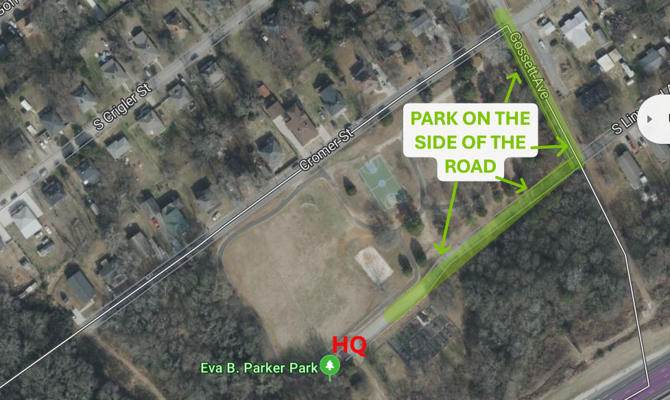
Parking and HQ location
People
Non-Profit / Community Organization
Recent Impacts
Location
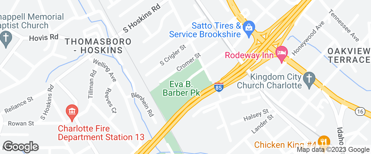
3801 Gossett Avenue, Charlotte, North Carolina
Eva B. Barber Park
Sustainable Development Goals


0
Impacts
0
Hours
13
Position(s) Filled
13
People